Parks & Recreation
Throughout Bureau County, many of our communities have a selection of beautiful parks and open spaces for those seeking a day of recreation surrounded by sunshine and fresh air. Please use the selections below to scroll straight to parks in each specified community.
Princeton Park District
Princeton Park District maintains over 192 acres of parks and its mission is to maintain and develop a creative, effective and responsive park, recreation, and nature resource system for residents and visitors to enjoy quality leisure opportunities. For more information about the Princeton Park District, please visit www.princetonparkdistrict.org.
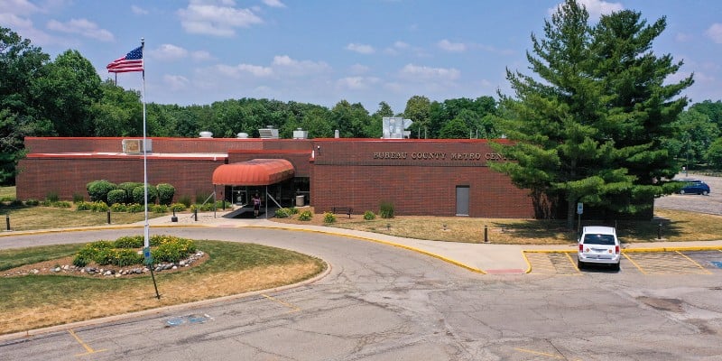
Bureau County Metro Center Map
837 Park Avenue West
815-872-0840
The Metro Center is an impressive 52,000-square-foot complete recreational facility. Featured are a full-sized gymnasium for basketball and volleyball; a 25-yard indoor swimming pool with lap lanes, wading pool and observation balcony; racquetball courts; weight room; locker rooms; sauna; a cardio-vascular room; and elevated walking track. For receptions, banquets or meetings, the center has a generous sized multi-purpose area.
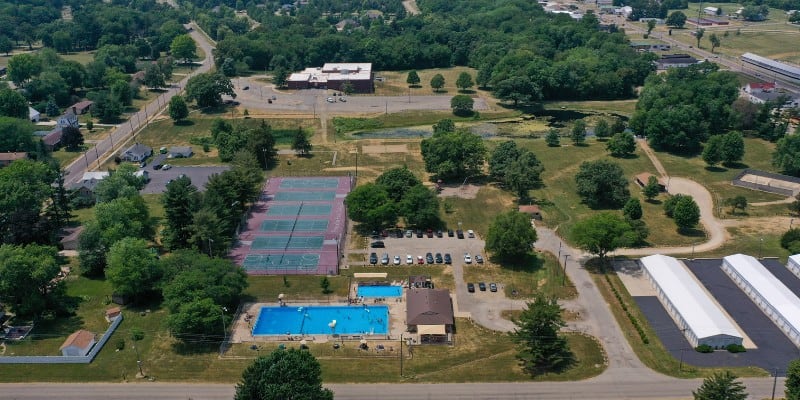
Alexander Park and Pool Map
Anderson St.
Twelve acre Alexander Park has a skate park, six tennis courts which are also used as a multi-sport court, outdoor pool, horseshoe pits, barbecue and picnic areas, shelter, restrooms, playground and sand volleyball and fishing.
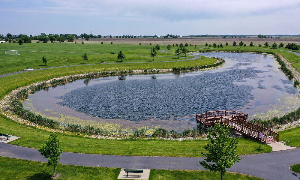
Zearing Park Map
South Euclid St.
A 72-acre park located in the southeast corner of Princeton offers the finest ball and soccer fields, shelters and picnic and barbeque areas. Also available on site is sand volleyball, horseshoe pits, playground and concession stand. Check out the new walking trail and lake.
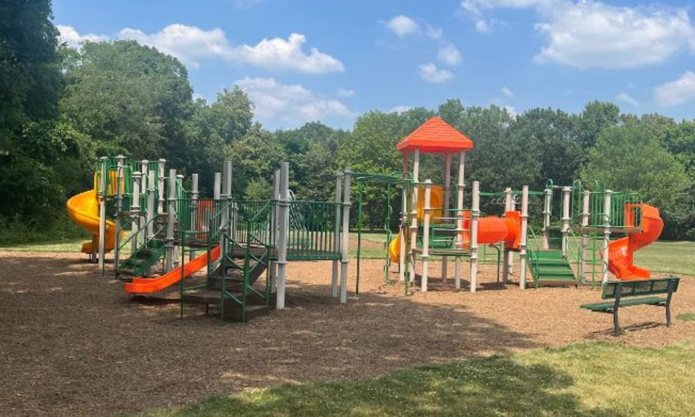
City-County Park Map
Highway 26 North.
City-County Park is a 65-acre shady setting with trails, barbecue areas, log cabin shelter, playground, ball field, and restrooms.
Joe Meyers Park Map
North of Dover
30 Acres of preserved natural woods.
Westside Park Map
Randolph & Marion St.
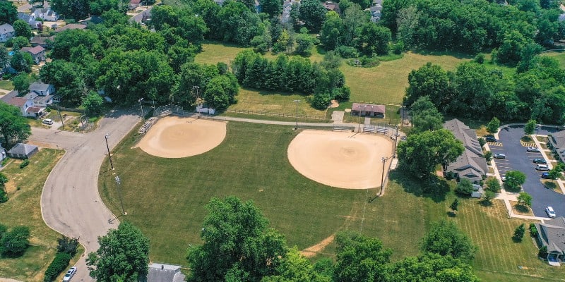
3 Acres of ball fields with restrooms and concession stand.
Spring Valley
Residents and visitors can enjoy outdoor sports and recreation at any one of the city’s seven parks that include ball diamonds, soccer fields, tennis courts, playground equipment, an outdoor swimming pool and a handicap accessible obstacle course. For more information about the Spring Valley parks and recreation, please visit www.spring-valley.il.us
Kirby Park Map
Devlin and Strong
Three shelters, baseball diamond, playground, tennis courts, horseshoe pits picnic areas and the Coveny-Veterans’ Memorial swimming pool.
Coal Miners’ Park Map
East St. Paul St.
A sensory delight, offering spectacular views over the Illinois River with a variety of trees, fishing ponds, beauty and serenity close to shopping.
Spring Valley Mini Park Map
This park is the heart of the downtown shopping district and host to many events throughout the year. Every summer, the park comes alive with music during the Friday evening Municipal Band Concerts.
Illinois River – Barto Landing Map
West side of Route 89
Barto Landing offers a lagoon for launching from three ramps and is the only calm-water public access to the Illinois River for forty miles of boating, water skiing, fishing or swimming enjoyment.
Echo Bluff Park Map
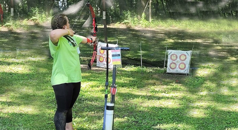
The Echo Bluff Park is located in beautiful and historic Hall Township, off Route 29 between Spring Valley and Depue, Illinois
Private parties available/High Ropes/Zipline by appointment Contact us at [email protected]
Trails, paintball, ice skating rink, nine-hole disc golf, high ropes and zip lines are some of the activities you find here.
Walnut
Walnut Park District Map
403 Sunset Ave
815-379-2213
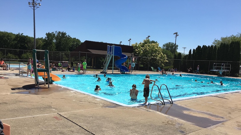
Outdoor swimming pool, ball diamonds, community shelter, playground, tennis courts and restrooms.
Ladd
Veteran’s Park Map
South Main and Cleveland St.
Located at the south entrance to the village, Veteran’s Park has tennis courts, a playground, a large picnic shelter, smaller individual shelters and restrooms. The park is also the site of the World War I Monument, the Veteran’s Memorial Monument and a World War II Army tank.
Kennedy Park Map
East Locust St.
The park contains two ball diamonds, a large picnic shelter, playground and restrooms and is home to the Ladd Youth Baseball/Softball league.
Bureau Junction
Children’s Memorial Park Map
Upper level playground area of Hormel Ponds offers a basketball court, shelter and picnic facilities. Cared for and developed by the Bureau United Men’s Society and the Illinois Department of Natural Resources.
Hormel Ponds Map
The ponds are nestled in a secluded basin surrounded by wooded bluffs, marshland, the Hennepin Canal and a bottomland woods that beavers have flooded. The setting is relaxing and invites one to explore its diversity and offers a pleasant location for family outings. A state fish-stocking program supplements the ponds’ natural restocking that results whenever the Illinois River exceeds its banks.
DePue
Donnelley/DePue State Fish and Wildlife Area Map
1001 W. 4th St.
DePue, IL 61322
815-447-2353
The Donnelley/DePue State Fish and Wildlife Areas complex is managed primarily for migratory waterfowl. Since the areas border the Illinois river, boating and fishing are also popular.
Lake Front Park Map
First St.
DePue, IL 61322
A scenic park stretching along Lake DePue with playground equipment, picnic areas and restrooms.
Mineral
Rural Mineral offers two truly unique features, an Illinois desert with cacti, and a more than 200 year old oak tree that was already rather large when Native Americans crossed the Illinois prairies on the Sauk Trail.
McCune Sand Prairie Map
150 East Street
North of Mineral about five miles on county 150 East Street is the McCune Sand Prairie where native Illinois cacti, the prickly pear, grow in abundance. This was once pasture, but due excessive grazing, the soil became especially sandy, making it too well drained and dry for many native Illinois plants. Today, there are more than 200 acres to explore with native grasses, shrubs, trees, and prickly pear cacti. This is not a good place to wear sandals, as some of the prickly pear are rather small and hidden in the grass. From on top of the hills there are some scenic views of the farmland off to the west.
The Witness Tree Map
County Road 10 and County Road 1300
The Witness Tree is a more than 250-year-old giant burr oak tree at the junction of County Road 10 and County Road 1300 three miles south of Mineral. This large oak tree along the trail was supposedly a meeting place for Chief Shabbona and the Sauk and Fox tribes. Later on, when the railroad was being built south of Mineral, surveyors used this tree as a “witness” or reference point for their line, from which it now gets its name.
Sheffield
Mautino State Fish and Wildlife Area Map
16006-875 E. St.
815-454-2328
Mautino State Fish and Wildlife Area was dedicated in 1991 and covers more than 900 acres. This park offers 15 lakes that have been stocked with a healthy population of fish. Park guests use the lakes for boating (electric boat troll motors only), fishing and canoeing. Other park activities include hiking, hunting, picnicking (bring your own blanket), and wildlife observation.
